New Delhi, 17 December 2025 : Union Minister of State (Independent Charge) for Science and Technology Dr Jitendra Singh said that geospatial technologies have emerged as a foundational pillar of India’s development journey, playing a critical role in planning, implementation and service delivery across sectors such as infrastructure, agriculture, defence, urban development, climate action and disaster management.
Addressing the National Workshop on the theme “Strengthening the Geospatial Ecosystem – Geospatial Mission: An Enabler of Viksit Bharat” through a video message, the Minister said that India’s geospatial transformation over the past decade reflects a decisive shift from regulation to empowerment under the leadership of Prime Minister Narendra Modi. Highlighting the landmark Geospatial Liberalisation Reforms of 2021 and the National Geospatial Policy 2022, he said these measures have democratised access to high-accuracy geospatial data, boosted innovation, strengthened industry participation and significantly expanded the adoption of geospatial technologies across sectors.
Dr Jitendra Singh stated that, aligned with the vision of Viksit Bharat 2047, the National Geospatial Mission has been launched as a transformative, whole-of-government initiative to build a modern, precise and accessible national geospatial infrastructure. He noted that national priorities such as smart cities, road and rail infrastructure, precision agriculture, logistics optimisation, natural resource management, disaster risk reduction, climate action and next-generation defence preparedness will increasingly rely on reliable, interoperable and robust geospatial data.
Commending the Survey of India (SoI), the Minister said that as the country’s oldest and most trusted mapping organisation, it has played a vital role in strengthening India’s geospatial ecosystem through technological modernisation and institutional leadership. On the occasion, he also released a Coffee Table Book of the Survey of India showcasing its legacy, technological evolution and contribution to India’s development.
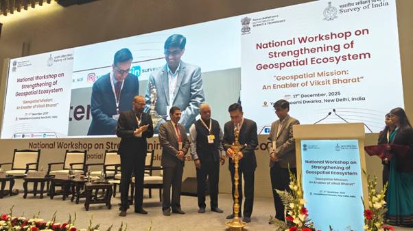
The National Workshop was organised today at Yashobhoomi, Dwarka, New Delhi, by the Survey of India in collaboration with the Department of Science and Technology. Senior officials from Central Ministries and State Governments, experts from India and abroad, and representatives from industry, academia and research institutions participated in the deliberations.
Welcoming the participants, Surveyor General of India Shri Hitesh Kumar S. Makwana highlighted the leadership role of the Survey of India in developing the national geospatial framework. He informed that more than 1,100 Continuously Operating Reference Stations (CORS) have been established, currently serving over 15,000 users, with State and research CORS networks being integrated into a unified national geodetic reference framework.
In his keynote address, Secretary, Department of Science and Technology, Prof Abhay Karandikar said that the Geospatial Guidelines 2021 and the National Geospatial Policy 2022 have enabled the creation of an innovation-driven ecosystem. He added that the upcoming National Geospatial Mission will focus on geodetic modernisation, interoperability, strengthening geospatial ICT infrastructure, integrating emerging technologies such as AI and Machine Learning, promoting research and development, and building capacity for a skilled geospatial workforce.
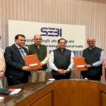
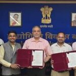
The workshop featured discussions on modernisation of the national geophysical reference frame, densification of CORS infrastructure, strengthening geospatial data and mapping capabilities, and enabling seamless access to data through platforms such as the National Geospatial Data Registry (NGDR) and the Unified Geospatial Interface (UGI). It was also announced that the Survey of India has joined the multilateral Memorandum of Understanding of the United Nations Global Geodetic Centre of Excellence (UN-GGCE) on behalf of the Government of India, reinforcing India’s commitment to strengthening the global geodetic supply chain.
An exhibition held alongside the workshop showcased key products and services of the Survey of India, including the Geodetic Asset Register, Geodetic Asset Maps, CORS services and multilingual State maps.
The National Workshop reaffirmed the Government of India’s commitment to leveraging geospatial data and technologies to strengthen governance, enable evidence-based decision-making and steer India towards a resilient, inclusive and globally competitive Viksit Bharat.